
In the first half of the dekad, the enhanced southwest monsoon—due to a tropical cyclone east of the country—will bring occasional rains over the western section of Luzon. Cloudy skies with scattered rains and thunderstorms are expected over the rest of Luzon, Visayas, Zamboanga Peninsula, and Northern Mindanao, while the remaining areas will have partly cloudy to cloudy skies with isolated rains or thunderstorms.
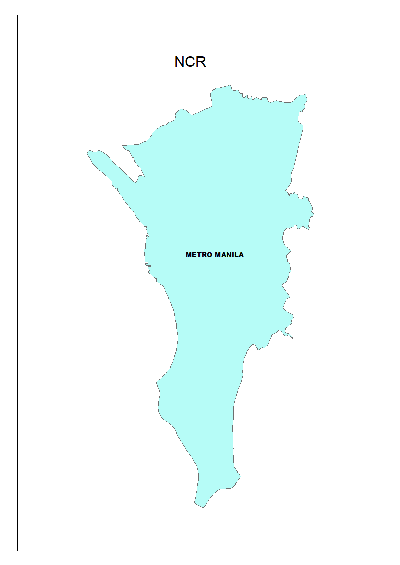
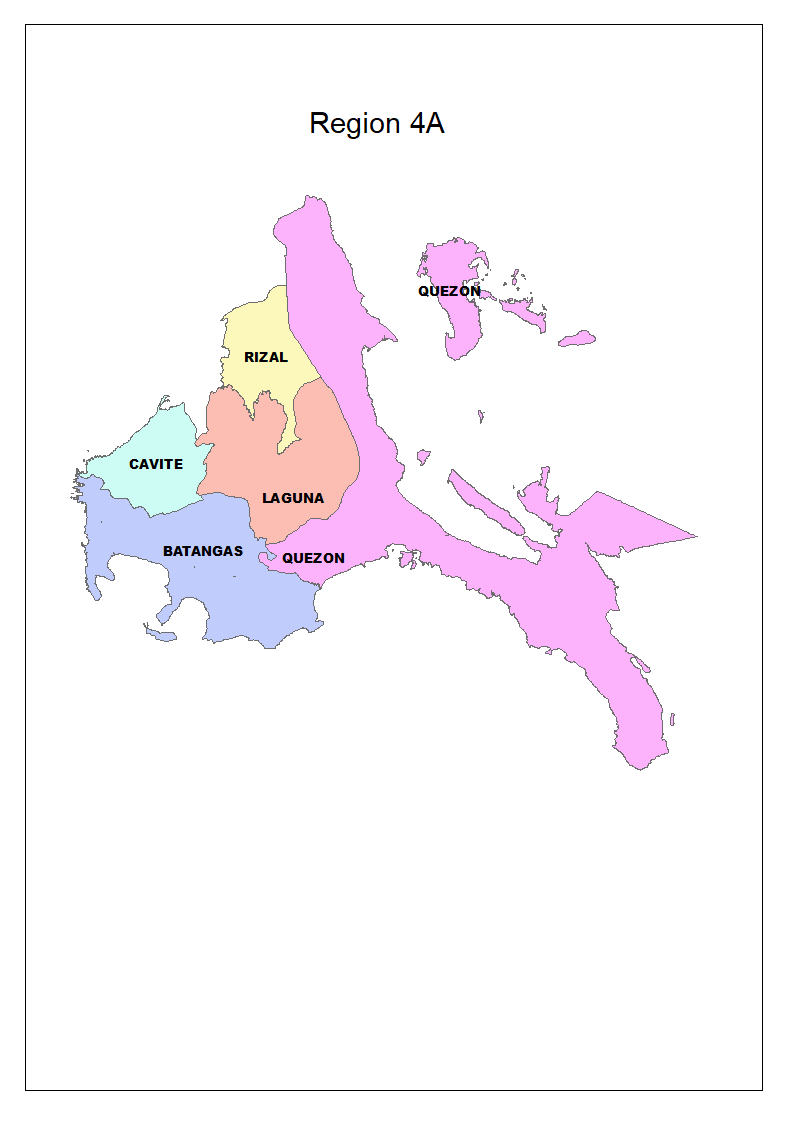
In the latter part of the dekad, Metro Manila, CALABARZON, and the western part of Southern Luzon will continue to experience monsoon rains. A possible LPA developing in the western section of Northern Luzon may bring rains with gusty winds over the Ilocos Region and Cordillera Administrative Region, and scattered rains and thunderstorms over Cagayan and Central Luzon. Elsewhere, partly cloudy to cloudy skies with isolated rains or thunderstorms will prevail.
By the end of the dekad, the southwest monsoon will continue to bring cloudy skies with scattered rains and thunderstorms over western Luzon, while the rest of the country will generally experience fair weather with localized thunderstorms.
During the first half of the dekad, gusty winds may affect the western section of Northern Luzon due to the presence of a weather disturbance. Meanwhile, southwesterly winds will prevail over the rest of the country. In the latter part of the forecast period, winds from the southwest will dominate across the entire country.
During the first half of the forecast period, moderate to rough sea conditions are expected over Luzon and the eastern section of Visayas, while the rest of the country will experience slight to moderate seas. In the latter part of the forecast period, sea conditions across the country are gradually improve to light to moderate.
ENSO ALERT SYSTEM STATUS: INACTIVE (Updated: 03 July 2025)
ENSO-neutral conditions currently prevail over the tropical Pacific, and most climate models suggest that these conditions are likely to persist through the December-January-February 2025-2026 season
https://www.pagasa.dost.gov.ph/climate/climate-advisories
FARM ADVISORIES:
Make sure fields have proper drainage to avoid waterlogging by creating raised beds, utilizing drainage ditches, or installing subsurface drainage systems. Enhance pest and disease monitoring, as wet conditions can facilitate their spread. Maintain all farm structures, including greenhouses and storage facilities, in good repair to shield against heavy rains. Keep up to date with weather forecasts to plan farming activities effectively.
* DA rolls out ‘Benteng Bigas, Meron Na!’ in La Union, Baguio City
Author: DA Press Office | 16 July 2025
BAGUIO CITY (July 16, 2025) — The Department of Agriculture (DA) has expanded the coverage of “Benteng Bigas, Meron Na!”— the flagship food program of President Ferdinand Marcos Jr. that offers rice at P20 per kilo to vulnerable sectors—to La Union and Baguio City.
Launched in partnership with local government units (LGUs) and farmer cooperatives and associations (FCAs), the program was rolled out in La Union on Tuesday and in Baguio City on Wednesday, coinciding with the 35th anniversary of the 1990 Luzon earthquake. Baguio, now fully recovered, continues to thrive as a tourism and investment hub.
In Baguio City, the National Food Authority (NFA) and Food Terminal Inc. (FTI) delivered 150 bags of rice, benefitting 750 individuals, including 4Ps beneficiaries, senior citizens, solo parents, and persons with disabilities. In Naguilian, La Union, another 100 bags were sold to 500 residents.
Agriculture Secretary Francisco P. Tiu Laurel Jr. said the expansion is part of the agency’s broader goal to reach more Filipinos nationwide.
“Our target is to serve 15 million households—about 60 million people, or half the country’s population—by the end of 2026,” said Tiu Laurel. “This is in line with the directive of President Marcos to make nutritious and affordable food accessible to Filipinos who need them most.”
The P20 rice initiative now operates in 162 locations nationwide, primarily through KADIWA ng Pangulo outlets. The rice is sourced from NFA stocks procured directly from local farmers.
The subsidized rice program not only ensures affordable food staple for consumers but also helps decongest NFA warehouses, making space to purchase more palay at prices higher than those offered by private traders. Each sack of rice moved creates space for two bags of palay.
Assistant Secretary Genevieve Velicaria-Guevarra, who heads the DA’s Agribusiness, Marketing, and Consumer Affairs, facilitates the rollout the program under the KADIWA ng Pangulo umbrella, underscored the importance of expanding to Northern Luzon.
“This is more than just a rollout—it’s a commitment to our people,” Guevarra said. “We thank our LGU partners and farmer cooperatives. Tunay na may Benteng Bigas sa Bagong Pilipinas. At ngayon, meron na rin dito sa Ilocandia.”
More rollout sites are expected in the coming weeks, particularly in areas with high poverty incidence.
“This is not a one-time initiative,” added Tiu Laurel. “We will continue the program until the end of President Marcos’ term in 2028 to ensure food security while empowering our local farmers.” ### (Photo by Jay Morales, DA-OSEC)
SUBUKAN ang balanseng pagpapataba
Alam mo ba na hindi kailangang puro inorganikong pataba ang gamitin para tumaas ang ani?
Mas mainam ang kombinasyon ng organiko at inorganikong pataba, angkop sa tinatawag na Abonong Swak. Ayon sa mga eksperto, maaaring makatipid ng P2,000 hanggang P4,000 kada ektarya sa pagsunod dito.
✅ Kapag naibabalik ang mga dayami o nadaragdagan ng organikong pataba, gumaganda ang kalidad ng lupa. Nagiging buhaghag ito at mas kaya nitong humawak ng tubig at sustansya.
✅ Ang inorganikong pataba naman, ibinibigay sa tamang yugto ng tanim kung kailan kailangan ng palay ng agarang nutrisyon. See less
Sources:
* https://www.da.gov.ph/da-rolls-out-benteng-bigas-meron-na-in-la-union-baguio-city/
** https://www.facebook.com/photo/?fbid=1168362061993484&set=a.222821126547587
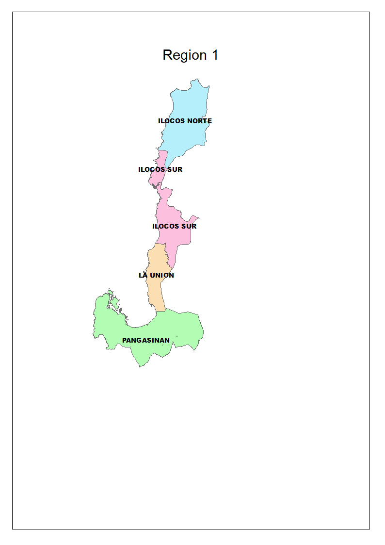
Region 1 Ilocos Region
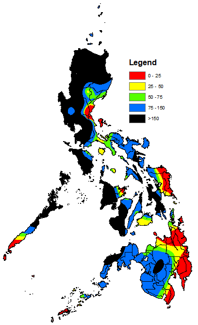
Forecast Rainfall (mm):
100 – 350
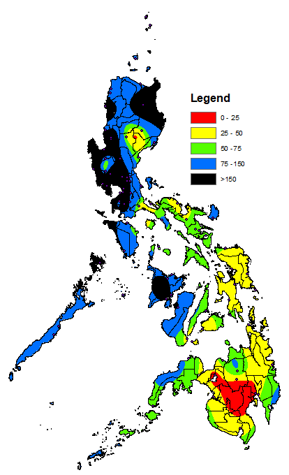
Rainy Days (0.1mm or more):
5 – 9
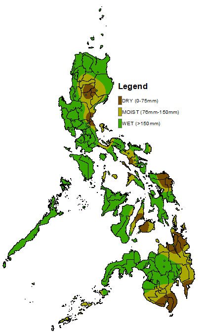
Actual Soil Moisture Condition:
n/a
Range of Relative Humidity (%):
58 – 99
Min - Max Temperature (°C):
23 – 32
Crop Phenology, Situation and Farm Activities:
Prepared By:
Checked: MGA
Approved: TAC
Uploaded: RVDD